Decision support tool
IMPT
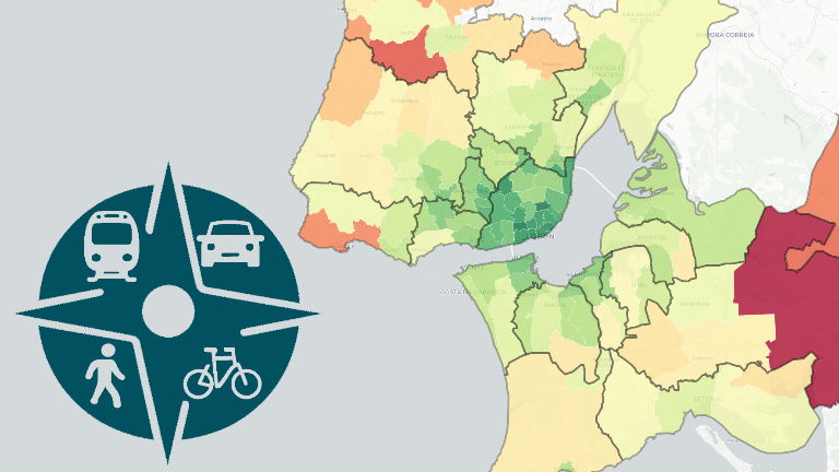
Multimodal transport poverty index developed for the Lisbon Metropolitan Area
Decision support tool
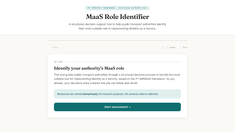
MaaS Role Identifier
A structured decision support tool to help public transport authorities identify their most suitable role in implementing Mobility as a Service.
R package, Decision support tool
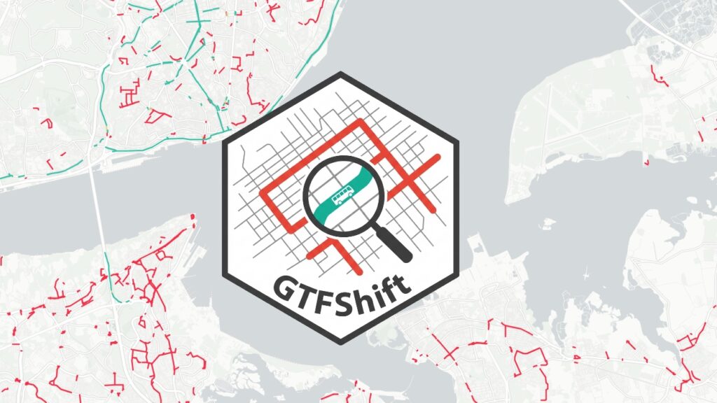
GTFShift
R package to explore and analyse GTFS files with a focus on identifying high frequency corridors
R package
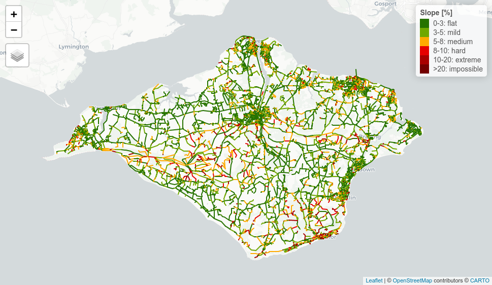
Slopes
R package to calculate slopes of roads, rivers and trajectories
Tools for data
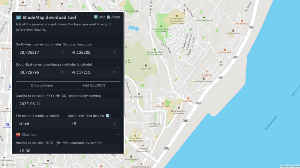
ShadeMap Download Tool
Interactive tool that allows to export shadow and sun exposure layers from ShadeMap over a custom area, with a high level of detail.
Decision support tool
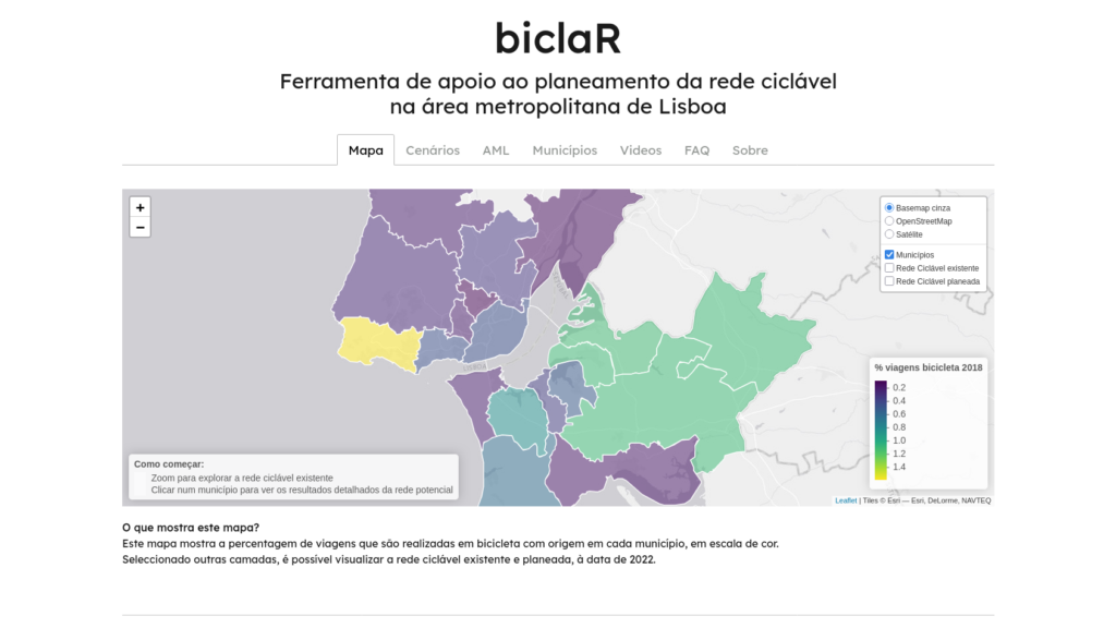
biclaR
Strategic cycle network planning tools, evidence and reproducible code
R package
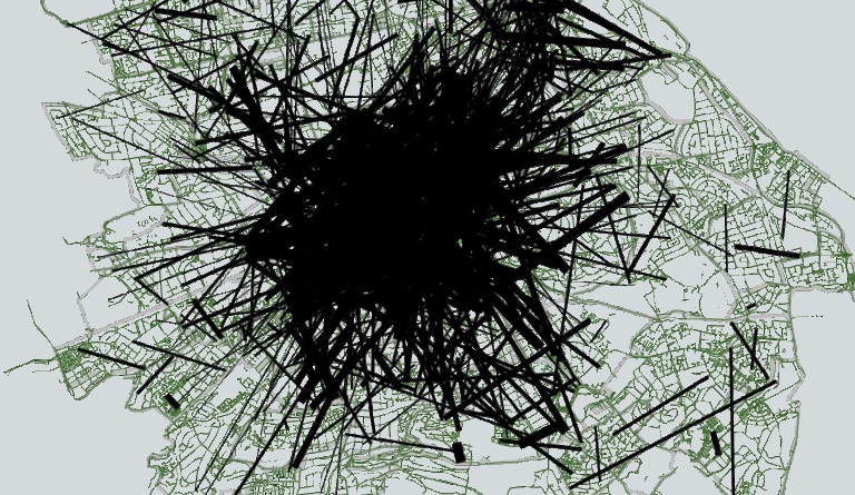
Jittering
R package that provides computationally efficient method for generating realistic route networks from Origin-Destination data